Detalls del llibre
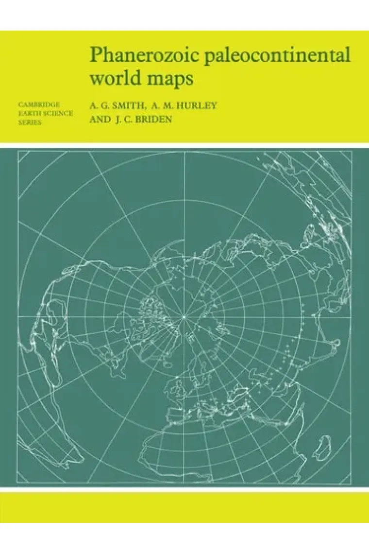
First published in 1980, this book shows the positions of the major continental areas during the past 560 million years as four series of computer-drawn maps. The maps have been drawn for the present day, 10 and 20 million years ago, then at 20-million-year intervals back to 240 million years, and finally at 40-million-year intervals to 560 million years ago. All the maps are based on quantitative geophysical or topographic information: paleomagnetic pole positions, ocean floor magnetic anomalies, and best fits of the continental margins. Cylindrical equidistant and Lambert equal-area polar projections are used, with a thirty-degree latitude-longitude grid. Many interesting problems in the Earth Sciences are global. These maps provide a framework on which a wide variety of data may be plotted. Problems in fields as widely separated as palenontology, stratigraphy, geochemistry and tectonics may usefully be displayed on these maps.
Llegir més - Autors A. Graham (University Of Glasgow) Cairns-Smith, Graham Hurley, J. C. Briden
- ISBN13 9780521232586
- ISBN10 0521232589
- Pàgines 106
- Any Edició 1981
- Fecha de publicación 30/09/1981
- Idioma Alemany, Francès
Ressenyes i valoracions
Sigues la primera persona a valorar-lo!
Has llegit Phanerozoic Paleocontinental World Maps?


Phanerozoic Paleocontinental World Maps (Alemany, Francès)
- De
- A. Graham (University Of Glasgow) Cairns-Smith, Graham Hurley, J. C. Briden
- 9780521232586
46,93€
49,40€
-5%
Enviament Gratuït
No disponible
46,93€
49,40€
-5%
Enviament Gratuït
No disponible


Devolució gratuïta

 Gràcies per comprar a llibreries reals!