


Detalls del llibre
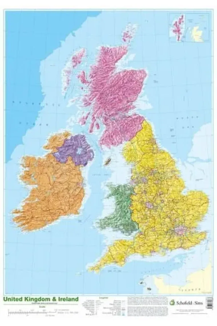
This detailed relief map of the United Kingdom and Ireland is colour coded to show the area of each country and large city. County boundaries are marked, as are rivers, motorways, ports and airports. An explanation of the political relationship between the countries is given, alongside information about the distance from sea level to Ben Nevis.
Llegir més - ISBN13 9780721709383
- ISBN10 0721709389
- Pàgines 1
- Any Edició 2002
- Fecha de publicación 01/10/2002
- Idioma Alemany, Francès
Ressenyes i valoracions
Sigues la primera persona a valorar-lo!
Has llegit Map of UK and Ireland?


Map of UK and Ireland (Alemany, Francès)
- De
- 9780721709383
22,23€
23,40€
-5%
Enviament Gratuït
No disponible
22,23€
23,40€
-5%
Enviament Gratuït
No disponible


Devolució gratuïta

 Gràcies per comprar a llibreries reals!