Detalls del llibre
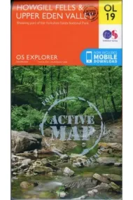
Map sheet number OL19 in the OS Explorer series covers Appleby-in-Westmorland, the Howgill Fells, Sedbergh, Upper Eden Valley and Kirkby Stephen. Highlights of the area include: Yorkshire Dales National park, North Pennines, Pennine Way, River Eden, Great Shunner Fell and Hardraw.FeaturesDetailed and easy to read map from Ordnance SurveyScale: 1:25,000Shows tourist information points, popular sites, viewpoints, places of interest and rights of way informationActive weatherproof version
Llegir més - Autor/a Great Britain. Ordnance Survey
- ISBN13 9780319475362
- ISBN10 0319475360
- Pàgines 1
- Any Edició 2016
- Fecha de publicación 19/12/2016
- Idioma Alemany, Francès
Ressenyes i valoracions
Sigues la primera persona a valorar-lo!
Has llegit Howgill Fells?


Howgill Fells (Alemany, Francès)
- De
- Great Britain. Ordnance Survey
- 9780319475362
20,99€
22,10€
-5%
Enviament Gratuït
No disponible
20,99€
22,10€
-5%
Enviament Gratuït
No disponible


Devolució gratuïta

 Gràcies per comprar a llibreries reals!