Detalls del llibre
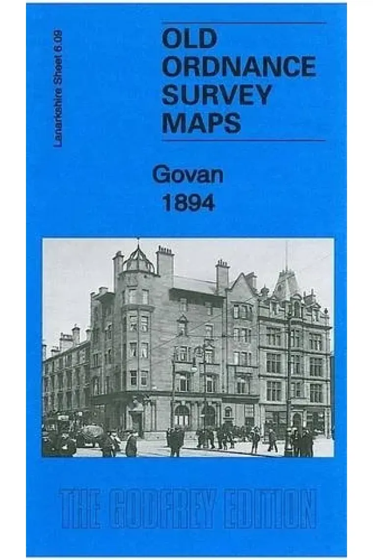
One in an extensive range of historical Ordnance Survey maps. Most maps are based on the Ordnance Survey 25'' or 1:2 500 plans reduced to approximately 15'' to the mile. They are so detailed that virtually every house is shown. The layouts of railways and tramways are shown as are collieries factories mills and docks. Each includes an essay on the history of the area often with extracts from a contemporary directory. Most maps are black and white unless otherwise specified. Map 06.09a
Llegir més - Autor/a Gilbert Bell
- ISBN13 9781847844507
- ISBN10 1847844502
- Any Edició 2011
- Fecha de publicación 31/01/2011
- Idioma Alemany, Francès
Ressenyes i valoracions
Sigues la primera persona a valorar-lo!
Has llegit Govan 1894: Lanarkshire Sheet 06.09a?


Govan 1894: Lanarkshire Sheet 06.09a (Alemany, Francès)
- De
- Gilbert Bell
- 9781847844507
4,32€
4,55€
-5%
No disponible
4,32€
4,55€
-5%
No disponible


Devolució gratuïta

 Gràcies per comprar a llibreries reals!