


Detalls del llibre
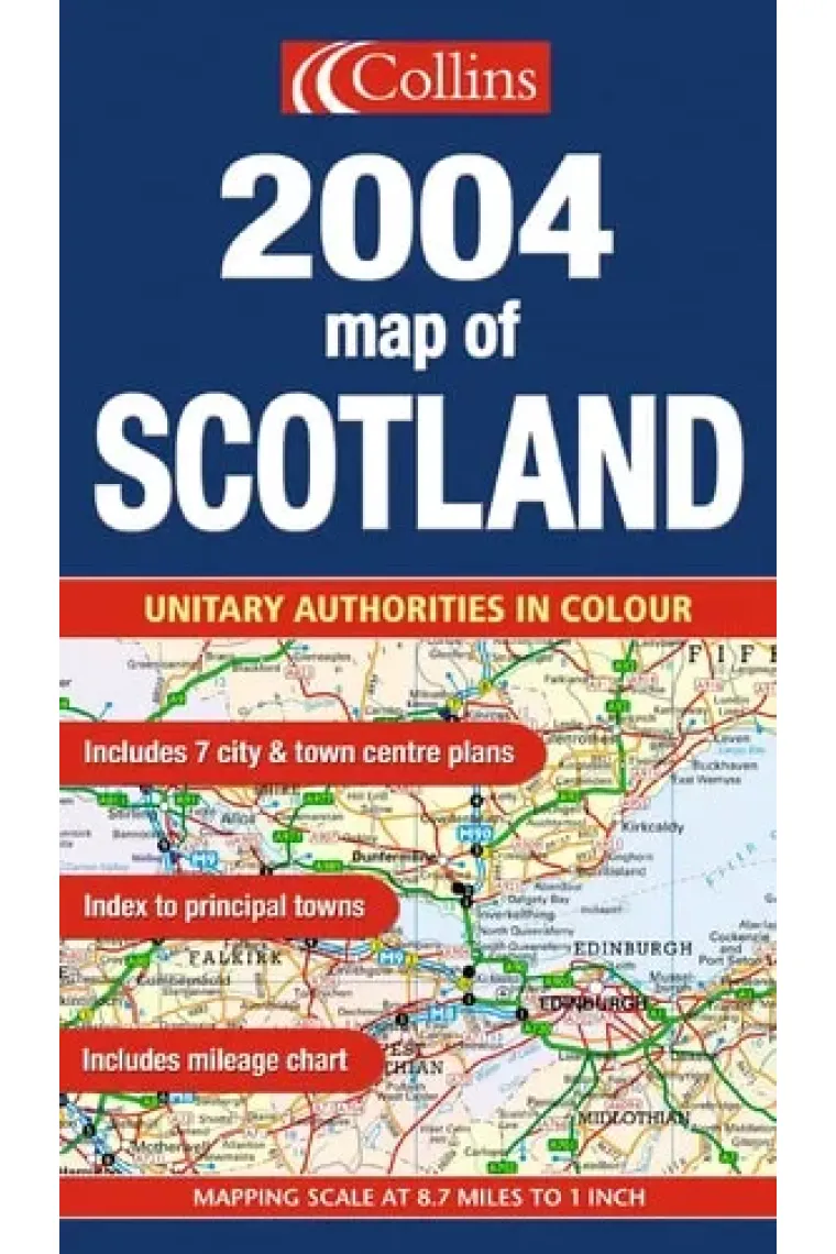
This map of Scotland clearly shows the road network and administrative areas in colour. The mapping is at 9 miles to 1 inch. It includes 7 city/town centre plans and an index to place names, a mileage chart and a key in English, French and German. This is a general purpose map but with a particular emphasis on political features. It can be used as a reference map and a route planning map.
Llegir més - ISBN13 9780007162017
- ISBN10 0007162014
- Any Edició 2026
- Fecha de publicación 06/05/2026
Ressenyes i valoracions
Sigues la primera persona a valorar-lo!
Has llegit 2004 Map of Scotland?


2004 Map of Scotland
- De
- 9780007162017
5,56€
5,85€
-5%
No disponible
5,56€
5,85€
-5%
No disponible


Devolució gratuïta

 Gràcies per comprar a llibreries reals!