


Detalls del llibre
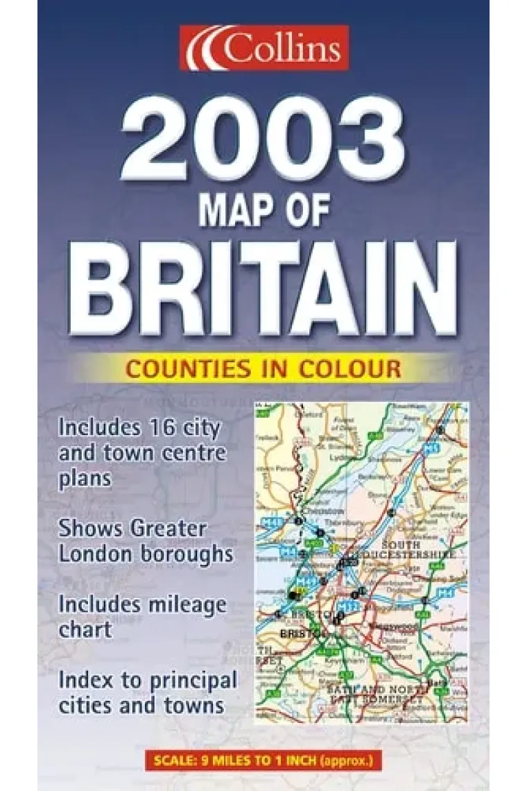
A full colour, double sided map of the whole of Great Britain with the road network, counties and unitary authorities clearly shown. The counties and unitary authorities are shown in colour along with 16 city/town centre plans. It incorporates an index to place names, mileage chart, and a key in English, French and German.
Llegir més - ISBN13 9780007140985
- ISBN10 0007140983
- Any Edició 2002
- Fecha de publicación 01/09/2002
Ressenyes i valoracions
Sigues la primera persona a valorar-lo!
Has llegit 2003 Map of Britain?


2003 Map of Britain
- De
- 9780007140985
6,17€
6,50€
-5%
No disponible
6,17€
6,50€
-5%
No disponible


Devolució gratuïta

 Gràcies per comprar a llibreries reals!